Updates found in version 1.5.2 of Mapware Fly
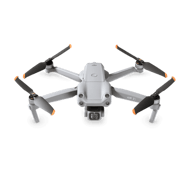
DJI Air2S Compatibility
- Users are now able to use the DJI Air2S drone with Mapware Fly
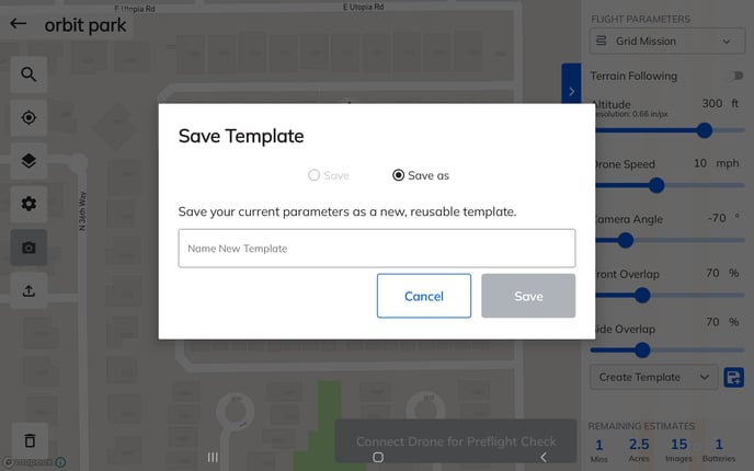
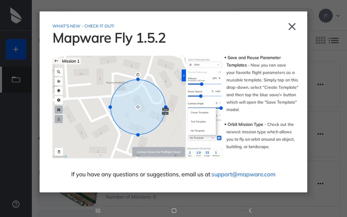
Save Parameter Templates
- Parameters are now able to be saved and reused, for each mission type
- New dropdown for selecting parameter templates
- Ability to create, save, and delete parameter templates
- Parameter window now has a slider to scroll up and down if the device screen cuts off any UI
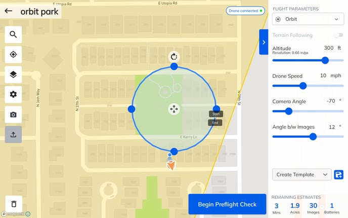
New Mission Type: Orbit
- Allows users to fly an orbit around an object, building, or landscape
- Users can set radius of circle (or oval) and altitude for orbit
- Ability to set overlap via angle between images
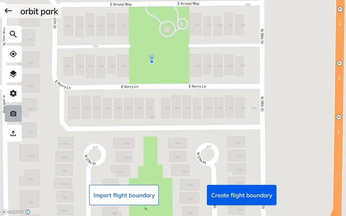
Import Flight AOI (Area of Interest) via Shapefile or KML
- Users now have the ability to upload an area of interest polygon via shapefile or .kml via an icon in the left side toolbar or the 'Import flight boundary' button for a new mission
What's New Popup
- New popup shown after download which shows users new features included in the latest version of the app
- Users can see this information again anytime by pressing 'What's New' from the ? icon
Additional Enhancements and Bug Fixes
- Users will now receive a warning at 500mb of device storage remaining
- Users will now be prevented from downloading images at 100mb of device storage remaining
- If a drone is not connected, the camera options button will be disabled and provide a message to the user
- Minor UI display bug fixed on the mission details page where "Date Taken" overlapped with the image upload icon