Summary of updates found in the Mapware release dated 4/13/2023
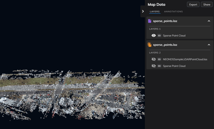
- Mapware users are now able to upload and display LiDAR data (point clouds as LAS or LAZ files) in the Map.
- LiDAR data in the Map are able to be annotated and measured
- Bug fixed that would display a red triangle and error for new images uploaded for new models. Now images will upload properly and only display errors for bad image data.
- Bug fixed where if two models that were far apart were displayed at the same time, it would show the wrong area. It will now set the correct extent to show both models in the map at the same time.
Disclaimer about Lidar data compatibility:
- The data will need to be already geo-referenced
- The data may or may not have color. Color will only be displayed if information is available from the initial data.
- No exporting or downloads of imported LiDAR data is available